RTK vs PPK: Understanding High-Accuracy GNSS Workflows
- Dec 28, 2025
- 6 min read
Updated: Apr 17

RTK vs PPK
Understanding High-Accuracy GNSS Workflows for Modern Drone Operations
RTK and PPK are often discussed together, but they solve accuracy challenges in very different ways. Understanding how each workflow functions helps operators choose the right tool for every mission, environment, and delivery timeline.
As drone platforms continue to mature, expectations around positional accuracy have risen just as quickly. In surveying and mapping, asset inspection, and research applications, meter-level accuracy is no longer sufficient. Data is expected to align cleanly with CAD drawings, GIS layers, and engineering models, often with centimeter-level precision.
Two of the most widely adopted techniques for achieving this level of accuracy are Real Time Kinematic (RTK) and Post-Processed Kinematic (PPK). While both rely on GNSS corrections, they differ in how corrections are delivered, when they are applied, and how they fit into real-world operations.
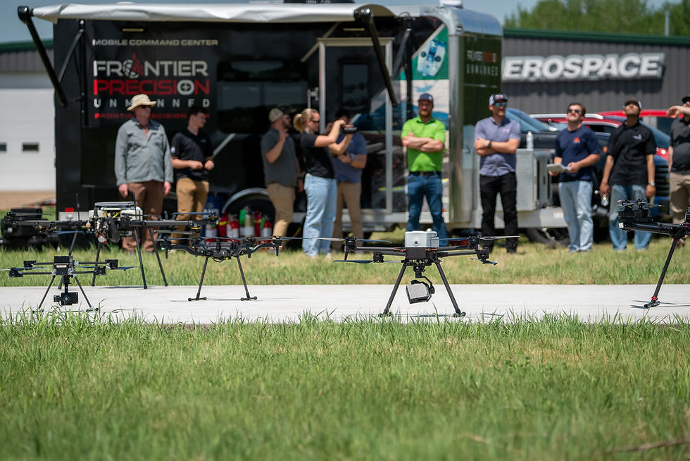
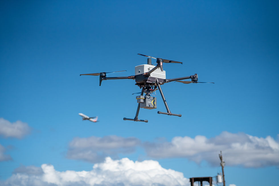
This article breaks down RTK and PPK in practical terms, using the integration of Sentera RTK and PPK workflows with Inspired Flight Technologies’ IF1200 or IF800 Tomcat aircraft as a real-world reference point.
The Foundation: Why GNSS Corrections Matter
Standard GNSS positioning relies solely on satellite signals. While adequate for general navigation, this approach typically produces positional errors measured in meters. For professional drone operations, especially those feeding data into design, construction, or environmental analysis workflows, this margin of error is unacceptable.
RTK and PPK improve accuracy by introducing correction data from a reference point with a precisely known location. This reference can be a physical base station deployed on site or a regional correction network. By comparing satellite signals received at the reference location to those received by the aircraft, errors introduced by atmospheric conditions, satellite clock drift, and orbital uncertainty can be corrected.
The core difference between RTK and PPK is not the correction source itself, but when those corrections are applied.
RTK: Accuracy in Real Time
RTK applies GNSS corrections during the flight. As the aircraft operates, it maintains a live connection to a reference source and receives correction data continuously. Each image or data point is geotagged with high precision at the moment it is captured.
In an RTK workflow using Sentera sensors and modules, or even the NAV RTK base, the aircraft communicates with a base station or correction network while airborne. This allows the system to resolve positional ambiguity immediately, often achieving centimeter-level accuracy without waiting for post-processing.
The primary advantage of RTK is speed. When the correction link is stable, operators can process data immediately after landing, or in some cases while still in the field. This makes RTK particularly attractive for construction monitoring, asset inspections, and time-sensitive surveys where fast turnaround is critical.
RTK also reduces the need for extensive Ground Control Points. While many professionals still validate results using checkpoints, the overall field effort is significantly reduced compared to traditional GNSS-only workflows.
RTK does, however, depend on maintaining a continuous correction link. Terrain, vegetation, buildings, distance from the reference source, and local interference can all affect signal reliability. If the link is interrupted, the system may temporarily fall back to lower-accuracy positioning until corrections resume.
This does not mean RTK is unreliable. It means that environmental awareness and mission planning play a significant role in determining whether RTK is the best choice for a given site.


PPK: Precision After the Flight
PPK takes a fundamentally different approach. Instead of applying corrections in real time, the aircraft records raw GNSS data throughout the flight. A reference station records the same satellite data simultaneously. After the flight, these datasets are combined during post-processing to calculate precise positions for each captured image or measurement.
Because corrections are applied after data collection, PPK is not impacted by temporary signal interruptions during the mission. As long as the raw GNSS data is recorded correctly, accuracy can still be recovered during post-processing.
This makes PPK especially valuable in challenging environments. Remote areas, forested terrain, coastal regions, long linear corridors, and sites with limited connectivity all favor PPK workflows. In many cases, PPK delivers more consistent results than RTK under difficult conditions.
The tradeoff is complexity and time. PPK requires additional steps after the flight, including sourcing reference data, aligning timestamps, and processing GNSS logs alongside imagery or LiDAR data. Results are not immediate, and operators must be comfortable with post-processing software to achieve optimal outcomes.
For projects where robustness and consistency outweigh speed, PPK is often the preferred solution.

What Is NTRIP and Why It Matters
To understand modern RTK workflows, it is important to understand how correction data is delivered. This is where NTRIP enters the picture.
NTRIP, short for Networked Transport of RTCM via Internet Protocol, is a standardized method for streaming GNSS correction data over the internet. Instead of deploying a physical base station at every site, operators can connect to an existing correction service and receive real-time data remotely.
These services are typically built on CORS or VRS networks. A CORS network consists of permanently installed reference stations distributed across a region. A VRS network uses data from multiple reference stations to generate a virtual reference point close to the rover, improving accuracy and reliability.
For operators flying IFT aircraft equipped with the Sentera RTK and PPK module, this means the Ground Control Station, like the GS-ONE, can be used to log in to an NTRIP service. Once authenticated, the aircraft receives correction data directly from the network during flight.
This capability simplifies field operations, reduces setup time, and enables RTK workflows even in locations where deploying a physical base station would be impractical. NTRIP does not eliminate the need for planning or validation, but it significantly lowers the operational barrier to entry for RTK.

RTK and PPK with IFT and Sentera in Practice
When paired with IFT platforms such as the IF800 or IF1200, the Sentera RTK and PPK module allows operators to choose the workflow that best matches the mission rather than forcing a single approach.
In RTK mode, the operator configures the Ground Control Station to connect to a base station or NTRIP-enabled network prior to takeoff. During the flight, the aircraft continuously receives corrections, enabling high-accuracy geotagging in real time. This workflow is well suited for sites with reliable connectivity and clear sky view.
In PPK mode, the aircraft records raw GNSS data throughout the mission. After landing, this data is processed alongside reference data from a base station or correction network. This workflow excels when connectivity is limited or when the highest possible consistency is required.
Many professional operators adopt a hybrid mindset. By flying with RTK enabled while also recording raw GNSS data, teams gain flexibility. If the correction link is interrupted, PPK post-processing can still be used to achieve accurate results. This layered approach reduces risk and increases confidence, particularly on high-value projects.
This flexibility aligns with the operational realities faced by surveyors, inspectors, and researchers who operate across diverse environments.

Ground Control Points and Validation
One of the most tangible benefits of RTK and PPK workflows is the reduction in reliance on Ground Control Points. Traditional drone mapping often requires placing and surveying numerous GCPs across a site, a process that is both time-consuming and labor-intensive.
With properly executed RTK or PPK workflows, the number of required GCPs can be significantly reduced. Many teams still use a small number of checkpoints to validate accuracy, but the overall field effort is dramatically lower.
It is important to note that validation remains a best practice. RTK and PPK improve positional accuracy, but independent verification helps ensure results meet project specifications and regulatory standards.
Choosing the Right Workflow
The decision between RTK and PPK is rarely absolute. Instead, it depends on the environment, the project timeline, and the tolerance for operational complexity.
RTK is well suited for projects that require fast turnaround and operate in areas with reliable connectivity. PPK is often the better choice for remote sites, complex terrain, long-duration flights, or research missions where resilience matters more than immediacy.
Understanding both workflows allows operators to adapt rather than compromise. With modern platforms and sensors designed to support both approaches, the choice becomes strategic rather than limiting.
Looking Ahead
RTK and PPK are not competing technologies. They are complementary tools that solve the same problem in different ways. When integrated thoughtfully, they expand what drone operators can accomplish with confidence and precision.
For teams flying IFT aircraft with Sentera RTK and PPK capabilities, the ability to leverage NTRIP-enabled RTK workflows or robust PPK post-processing represents a powerful and flexible solution. As drone data increasingly feeds directly into engineering models, GIS platforms, and digital twins, the choice between RTK and PPK becomes less about preference and more about operational intent.
Understanding these workflows is no longer optional. It is foundational to professional drone operations today.