Inside Issue #6 of IFT Quarterly Magazine
- May 11
- 1 min read
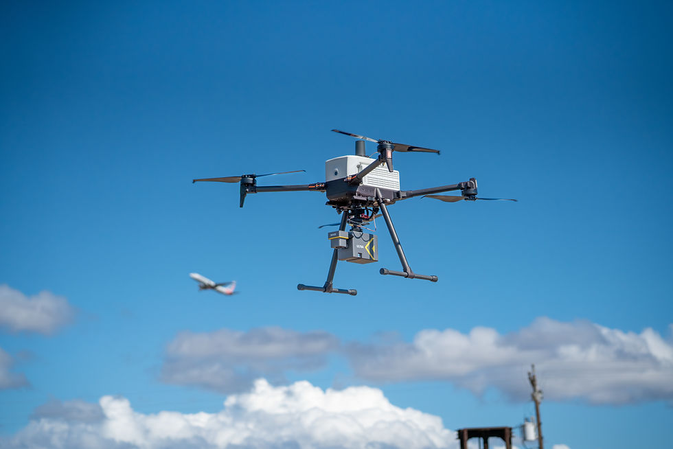
The latest issue of IFT Quarterly Magazine dives into the evolving world of drone-based sensing, mapping, and geospatial workflows. From uncovering hidden burial sites beneath dense forest canopy to testing aerial ground-penetrating radar in the dunes of California, this issue explores how advanced drone technology is being pushed into new environments and applications.
Featured in this issue:
Mapping the Forgotten
See how the IF1200A and GeoCue TV515 LiDAR system helped researchers identify unmarked graves hidden beneath vegetation at a historic cemetery site in Tennessee.
Guide to Drone LiDAR
A practical breakdown of LiDAR workflows, sensor differences, data quality, and why the right drone platform matters for professional mapping missions.
Profile: Brittany Gaspar
Meet one of the people behind the aircraft, and get an inside look at the production floor, quality control process, and craftsmanship that goes into every build.
Chasing a Lost City
Follow an experimental aerial GPR mission at the Lost City of DeMille, where the IF1200 was used to explore what may still lie buried beneath the dunes over 100 years later.
Issue #6 also includes technical FAQs, partner integrations, and real-world insights into LiDAR, mapping, and advanced aerial workflows shaping the future of geospatial data collection.